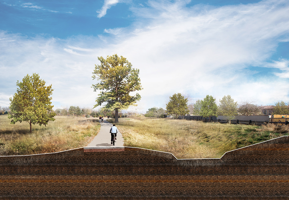
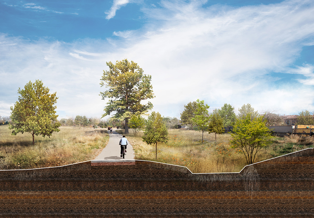
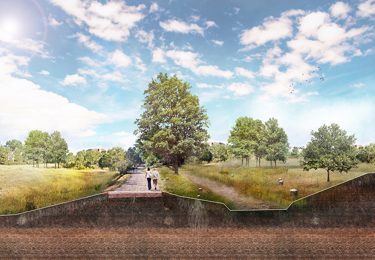
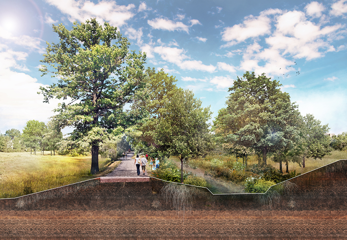
The High Line Canal is a unique 71-mile-long corridor that celebrates the region’s historical engineering ingenuity, significant environmental assets, and varied natural landscapes. Weaving through multiple neighborhoods, commercial nodes, and valued recreational amenities, the High Line Canal provides a well-defined and highly traveled route starting from the mouth of Waterton Canyon all the way north to Green Valley Ranch and Aurora.
Livable Cities Studio served as the lead local planner and project manager on the High Line Canal Framework Plan, which is a 10–20-year implementation plan that will guide future investments for the 11 jurisdictions along the Canal. Our team worked closely with the jurisdictions, led the stakeholder outreach and engagement, developed design guidelines, and identified implementation strategies. Since developing the Framework Plan, Livable Cities Studio has worked on several implementation projects along the High Line Canal in partnership with Felsburg Holt & Ullevig. Projects include: 8th Avenue Bridge & Activation, Littleton Elati Bridge & Pause Place, and Lee Gulch Landing.